Search & Rescue
Rapid deployment and extended coverage for life-saving missions. When every minute counts, the DA62 MPP provides the endurance and capability to find those in distress.
The VANGUARD provides life-saving intelligence and situational awareness to rescue teams on ground for up to 8 hours. Monitoring damage to critical infrastructure caused by earthquakes, floods or fires, and locating missing people, are key capabilities of the DA62 MPP VANGUARD.
Mission Applications
- check_circleSearch and Rescue
- check_circleDisaster Management
- check_circleEnvironmental Monitoring
Example Configuration
Platform Advantages
When Every Minute Counts
The DA62 MPP combines rapid response capability with extended endurance to maximize the chance of successful rescue.
Wide-Area Coverage
Cover more ground faster than helicopters with extended range and speed, maximizing search effectiveness.
Thermal Detection
High-resolution infrared imaging locates persons in any conditions—day, night, or obscured by vegetation.
Extended Endurance
Continue searching when other aircraft need to refuel. 10+ hours of endurance for sustained operations.
Lower Operating Cost
More flight hours per budget dollar means more search time and better outcomes for those in distress.
Applications
Mission Profiles
From missing persons to natural disasters, the DA62 MPP provides the aerial capability to save lives.
Missing Persons
Support ground search teams with aerial thermal detection and wide-area visual scanning for lost hikers, children, and vulnerable individuals.
- checkThermal detection through vegetation
- checkSystematic grid search patterns
- checkReal-time coordination with ground teams
- checkExtended search duration capability
Disaster Response
Rapidly assess disaster areas, including CBRNE incidents, locate survivors, and coordinate relief efforts with comprehensive aerial coverage.
- checkDamage assessment and mapping
- checkSurvivor location and tracking
- checkInfrastructure status reporting
- checkRelief coordination support
Wildfire Support
Map fire perimeters, identify hotspots, and support firefighting operations with real-time thermal imagery.
- checkFire perimeter mapping
- checkHotspot detection and tracking
- checkEvacuation route assessment
- checkFirefighter safety overwatch
Coastal Patrol
Monitor coastlines for maritime emergencies, locate overdue vessels, and support water rescue operations.
- checkMaritime emergency response
- checkOverdue vessel location
- checkSwimmer and surfer assistance
- checkCoordination with Coast Guard
In the Field
SAR Platforms & Capabilities
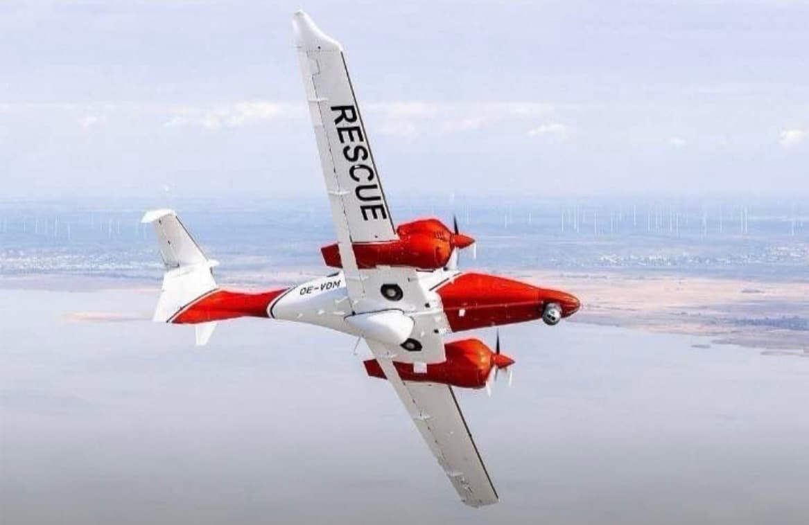
Dedicated SAR Livery — Coastal Operations
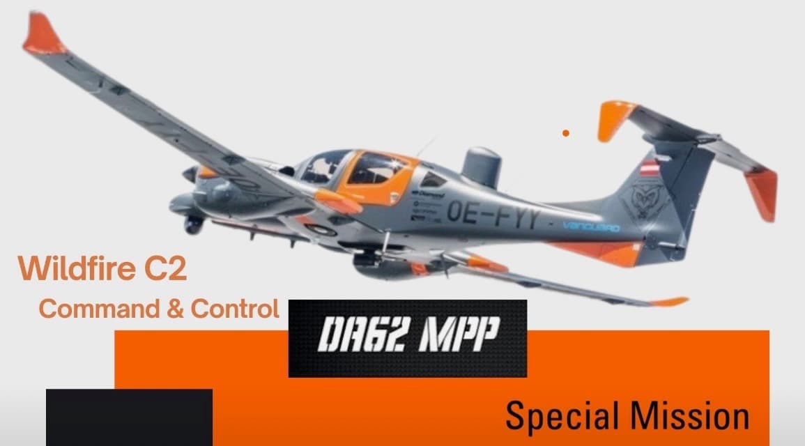
Wildfire Command & Control Configuration
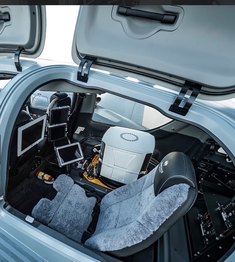
Onboard Detection & Location Systems
More Solutions
Explore Other Missions
The Platform
Diamond DA62 MPP
Discuss Your SAR Requirements
Tell us about your search and rescue needs and we'll show you how the DA62 MPP can enhance your aerial SAR capability.