Aerial Survey & Mapping
Precision geospatial data collection for engineering, environmental, and resource applications. The DA62 MPP provides the stable platform and endurance needed for large-scale survey operations.
Highest precision combined with efficiency make the SURVEYSTAR a perfect cost-effective mapping aircraft. Thanks to its multi-sensor capability, a wide range of missions can be offered. Whether you use lidar, a large format camera, or a combination of both — with the SURVEYSTAR this is possible.
Mission Applications
- check_circleMapping / Photogrammetry
- check_circleAirborne Laser Scanning
- check_circleAerial Survey
Example Configuration
Platform Advantages
Built for Survey Operations
The DA62 MPP combines the stability, endurance, and payload capacity required for professional aerial survey work.
Stable Platform
Low vibration and smooth flight characteristics ensure sensor accuracy and high-quality data capture.
Dedicated Sensor Hatches
Factory-integrated mounting points with provisions for nose, belly, and wing pod sensor installations.
Long Endurance
Complete large survey areas in single flights, reducing mobilization costs and increasing productivity.
Fuel Efficiency
Lower cost per survey mile compared to turbine platforms, making large-scale projects economically viable.
In the Field
Survey Platform Configurations
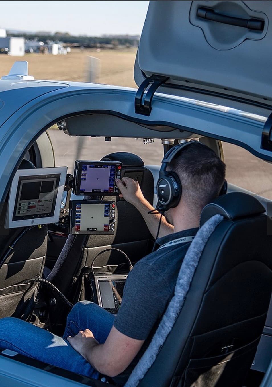
Operator Station — Survey Data Collection
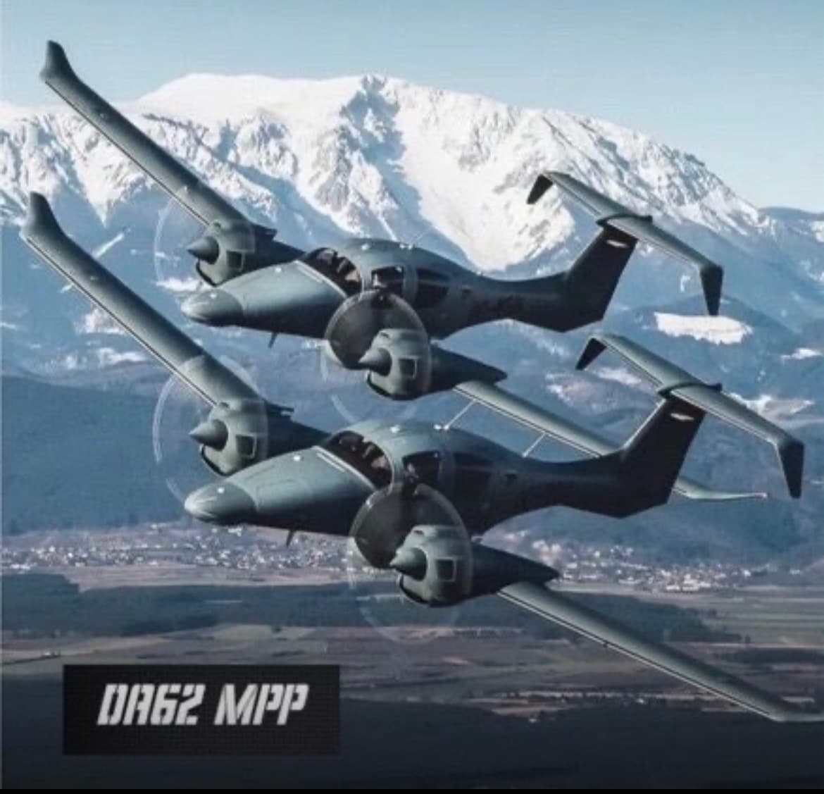
Multi-Platform Survey Operations
Applications
Survey Capabilities
From topographic mapping to mineral exploration, the DA62 MPP supports a wide range of aerial survey applications.
Topographic Mapping
High-precision LiDAR and photogrammetric surveys for terrain modeling, DTM/DSM generation, and geodetic applications.
- checkLiDAR point cloud acquisition
- checkDigital terrain model generation
- checkOrthophoto production
- checkVolumetric calculations
Infrastructure Inspection
Systematic corridor surveys for pipelines, powerlines, railways, and other linear infrastructure assets.
- checkPipeline patrol and leak detection
- checkPowerline vegetation encroachment
- checkRailway track inspection
- checkTelecommunications tower surveys
Mineral Exploration
Airborne geophysical surveys for mineral exploration, including magnetic, gravity, and electromagnetic methods.
- checkMagnetic surveys
- checkGravity gradiometry
- checkElectromagnetic surveys
- checkRadiometric mapping
Corridor Mapping
Transportation route planning and right-of-way surveys for highways, railways, and utility corridors.
- checkHighway design surveys
- checkRailway alignment studies
- checkUtility ROW mapping
- checkEnvironmental impact corridors
Environmental Monitoring
Vegetation analysis, coastal erosion studies, water quality assessment, and ecological habitat mapping.
- checkVegetation health analysis
- checkCoastal erosion monitoring
- checkWetland delineation
- checkWildlife habitat assessment
SurveyStar Performance
Mission Profiles
Three optimized configurations balancing resolution, coverage, and efficiency for different survey requirements.
High Resolution
- checkCity & architecture modeling
- checkPower lines & corridor mapping
- checkPrecision monitoring programs
Standard Resolution
- checkCadastral mapping
- checkAgricultural & forestry mapping
- checkSmall & medium area programs
Large Areas
- checkWide-area mapping & content programs
- checkRemote area data collection
- checkRegional spatial data infrastructure
Sensor Integration
Compatible Sensors & Mounts
The SurveyStar platform supports a wide range of industry-leading sensors from major manufacturers.
| Manufacturer | Sensor | Mount |
|---|---|---|
| Leica | CountryMapper | Leica PAV 200 |
| Leica | CityMapper-2 | Leica PAV 200 |
| Leica | DMC-4 / DMC-3 | Leica PAV 200 / 100 |
| Leica | TerrainMapper-3 | Leica PAV 200 |
| Riegl | VQ-1560 II-S | Somag GSM 4000 / 5000 |
| Riegl | VQ-1460 | Somag GSM 4000 / 5000 |
| Riegl | VQ-1260 | Somag GSM 4000 / 5000 |
| Riegl | VQ-860-G | Shock-Mounted |
| Riegl | VQ-780 II-S | Shock-Mounted |
| Vexcel | UltraCam Merlin | Somag GSM 4000 / 5000 |
| Vexcel | UltraCam Eagle | Somag GSM 4000 / 5000 |
| Vexcel | UltraCam Osprey | Somag GSM 4000 / 5000 |
| Vexcel | UltraCam Dragon | Somag GSM 4000 / 5000 |
| PhaseOne | PAS880 | Somag GSM 4000 / 5000 |
| PhaseOne | PAS280 | Somag GSM 4000 / 5000 |
| IGI | Digi-CAM | Somag GSM 4000 / 5000 |
More Solutions
Explore Other Missions
The Platform
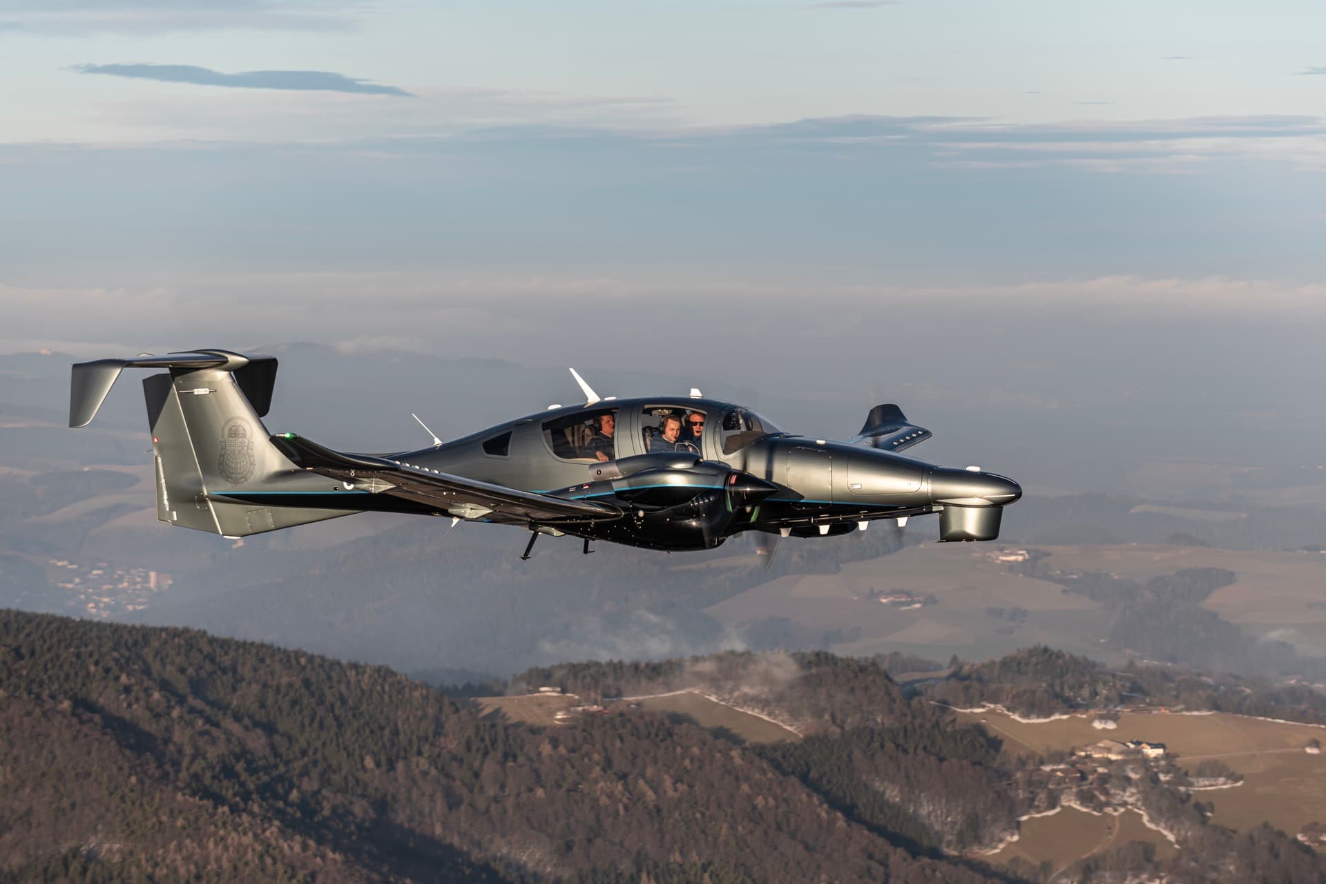
Diamond DA62 MPP
Discuss Your Survey Requirements
Tell us about your survey needs and we'll show you how the DA62 MPP can enhance your aerial data collection capability.